

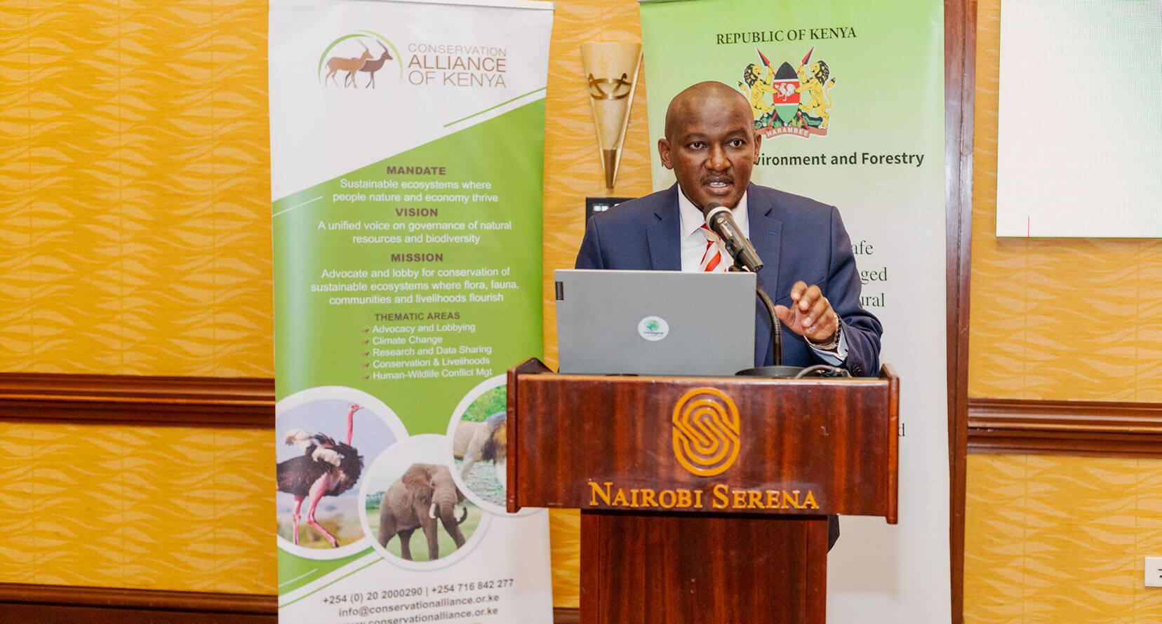

By Esther Kiragu,
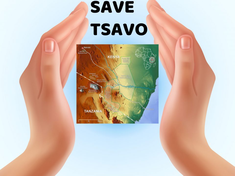
Taita Taveta County is one of the six counties in the coastal region of Kenya and covers a total area of 17,084.1km2 with 10,649.9 km2 (or about 62%) being within Tsavo East and Tsavo West National Parks, a major tourism destination. Lakes Jipe and Chala occupy 106km2 of Taveta sub-county, whereas sisal estates and hilltop forests occupy less than 100 km2. The rest of the area is public and private land such as ranches.
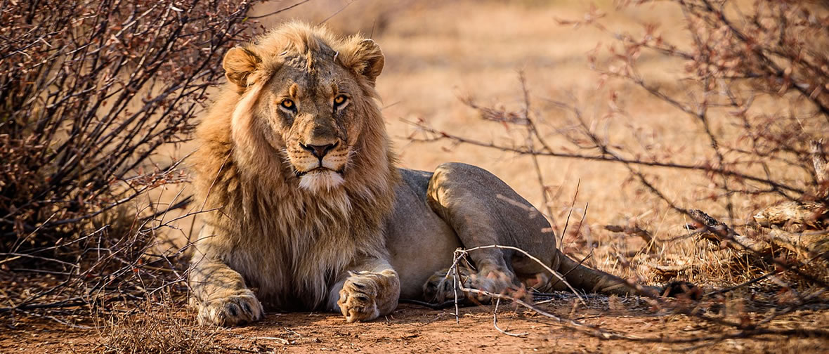
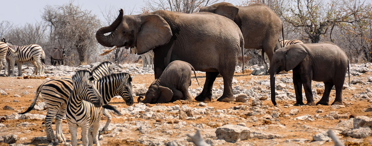
Climatically, the County is dry, except for Taita Hills, which are considerably wet. The vast rangeland covering Tsavo East and Tsavo West National Parks in the Lower Zone forms the Tsavo Ecosystem, which includes the community (group) ranches made of open savannah, woodland and dryland forest. The ecosystem has a wide array of biodiversity and holds one third of Kenya’s total elephant population.
The ecosystem as a whole does not only provide livelihoods to many communities but supports the Kenyan economy significantly through tourism income. This implies a wide stakeholder base has interests in the ecosystem ranging from communities, civil society and government. The interests vary but also depend on ecosystem health and landscape connectivity within and beyond protected areas.
The County has close to 30 registered ranches and with the main land use in the ranches being wildlife tourism and conservation, as well as cattle grazing. The ranches were adjudicated under various categories, including communal (pastoral) group ranches to safeguard grazing grounds and commercial production systems spanning a few co-operative and individual ranches. However, most of the ranches are either private incorporated as a company limited by shares, with 50 shareholders and lease period of between 33 to 45 years or Direct Agricultural Company (DAC) ranches in which the number of shareholders is not limited, but company is limited by the total number of shares. DAC was to facilitate further ownership of land by locals, where the Government allocated companies formed by shareholders drawn from existing administrative units to compensate for land lost by the communities during the setting up of the Tsavo National Parks. These DACs were allocated leaseholds of between 33 and 66 years, with the national government retaining one share and veto power on technical and policy issues on the management of the ranches.
In terms of land-uses, wildlife tourism and conservation, livestock production are the main land uses. However, livestock production was discontinued on most of the ranches in the 1980s and 1990s due to various reasons including unfavourable markets, overgrazing and land degradation, and natural calamities such as drought (Njogu, 2004). Collapse of cattle ranching left most ranches indebted with loans acquired from the Agricultural Finance Corporation to run their ranching activities (Njogu 2004; Veit, 2011). As a result, changes took place over the years with some of the lands either have been sold off resulting in change of designation or the formation of new entities or subdivided.
Lack of clear policy, inadequate coordination mechanism and poor implementation across sectors and absence of major economic activity to incentivize the ranch owners has paved way for encroachment by people practicing slash and burn agriculture and charcoal production. Consequently, there is a general feeling of disillusionment and the sentiment that the ranches are perhaps best subdivided as they see no value from them. Once the ranches are subdivided, the movement of wildlife between the national parks and the dispersal areas will be very limited. There will be loss of open space necessary for maintaining the elephant & other wildlife population. Some of the expected outcomes will further include:
Systematic loss of primary productivity in the ecosystem that is likely to occur as a result of increased agricultural activities coupled with poor land management practices, loss of vegetation cover, increased siltation, reduced river flows and the effects of climate change.
Loss of valuable habitat not only for wildlife but also for water conservation and other ecosystem services.
Migratory routes are going to be closed and the dispersal areas significantly reduced in size.
Loss of opportunities in wildlife and nature-based businesses.
Increased risk of induced poverty. This may lead to inappropriate land use and land degradation resulting from land sales
Incidence of poaching is likely to increase for local, regional and international markets
Human -Wildlife Conflicts are likely to increase as more land is likely to be put under cultivation or fenced.
